– Tabor Povir –
An ancient Karst Sentinel
(Povirski Tabor, Tabor Povir, Tabor di Poverio)
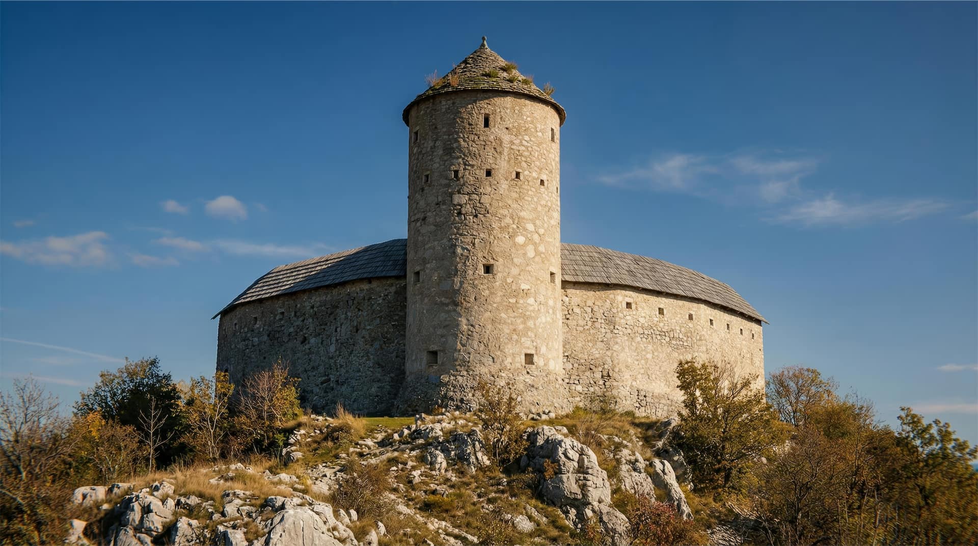
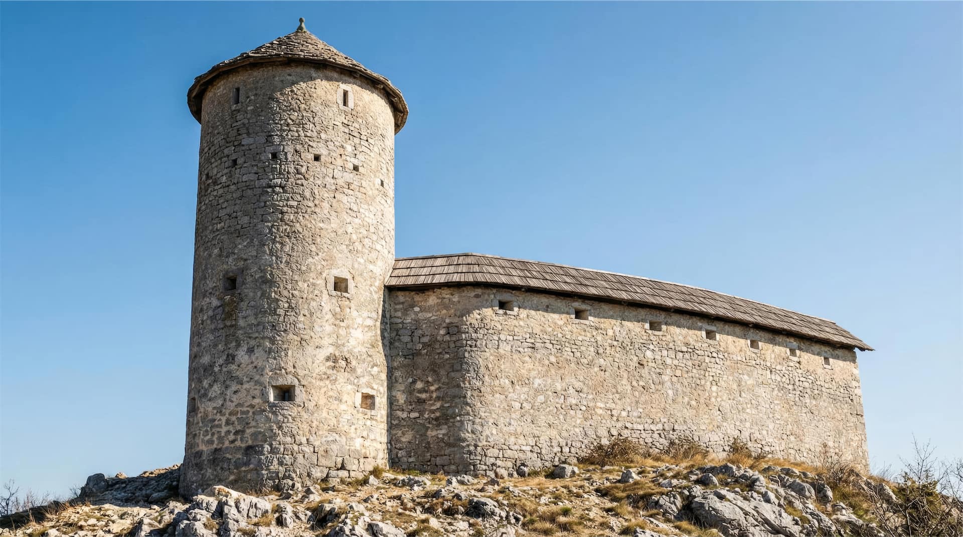
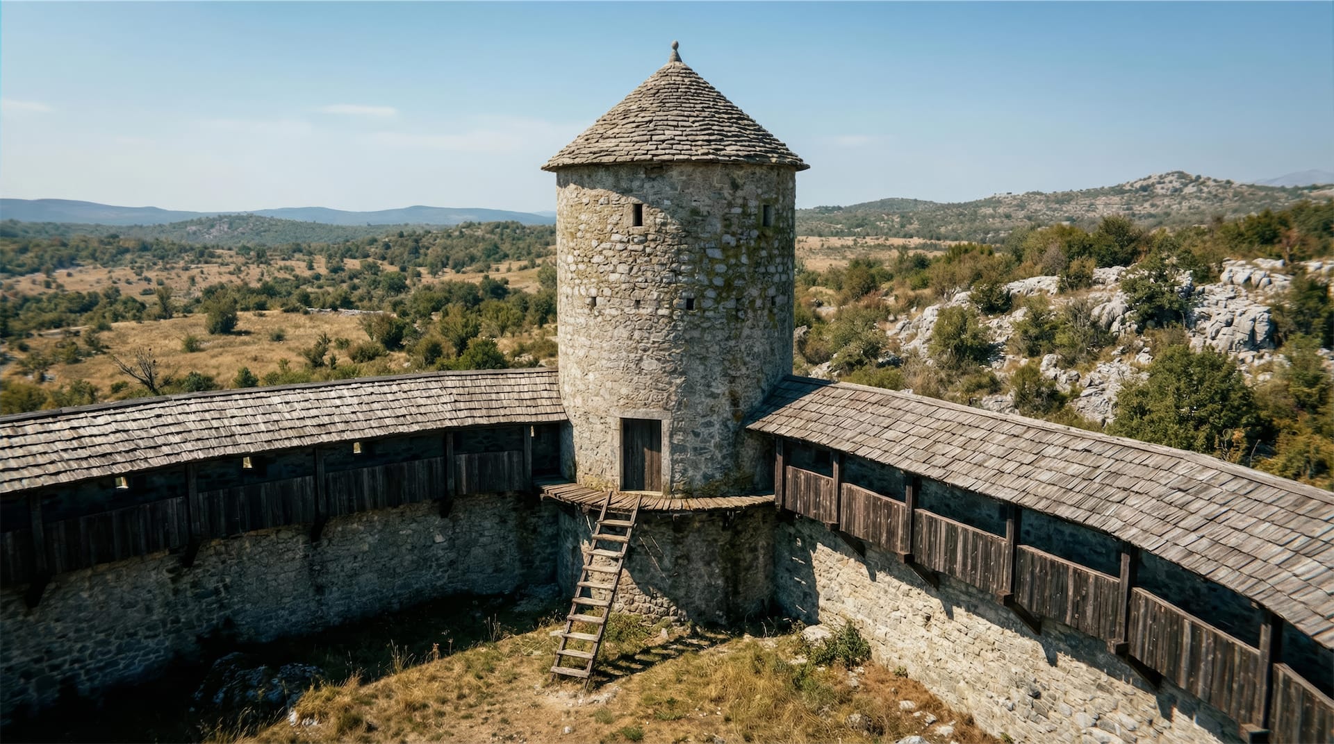
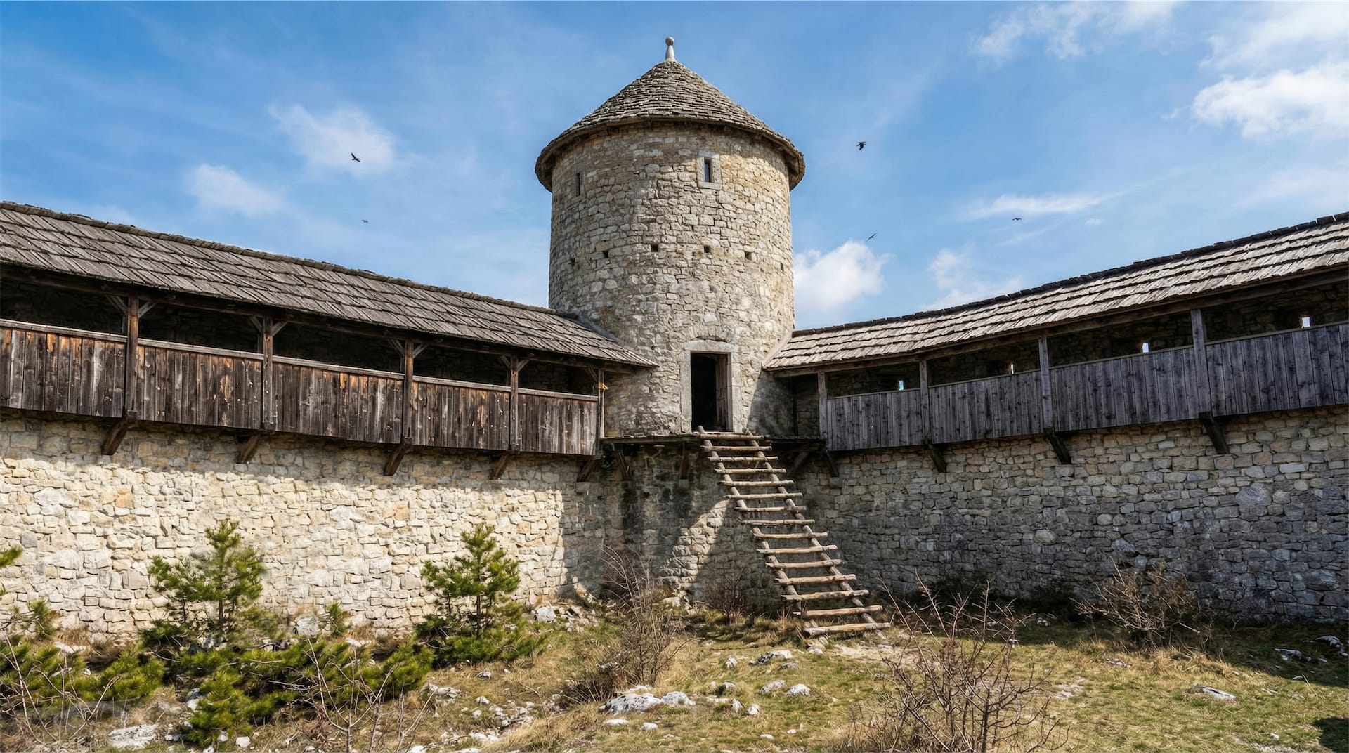
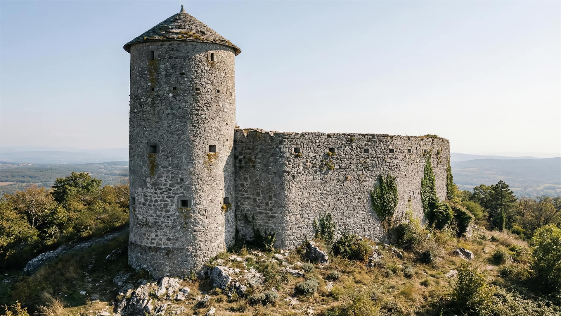
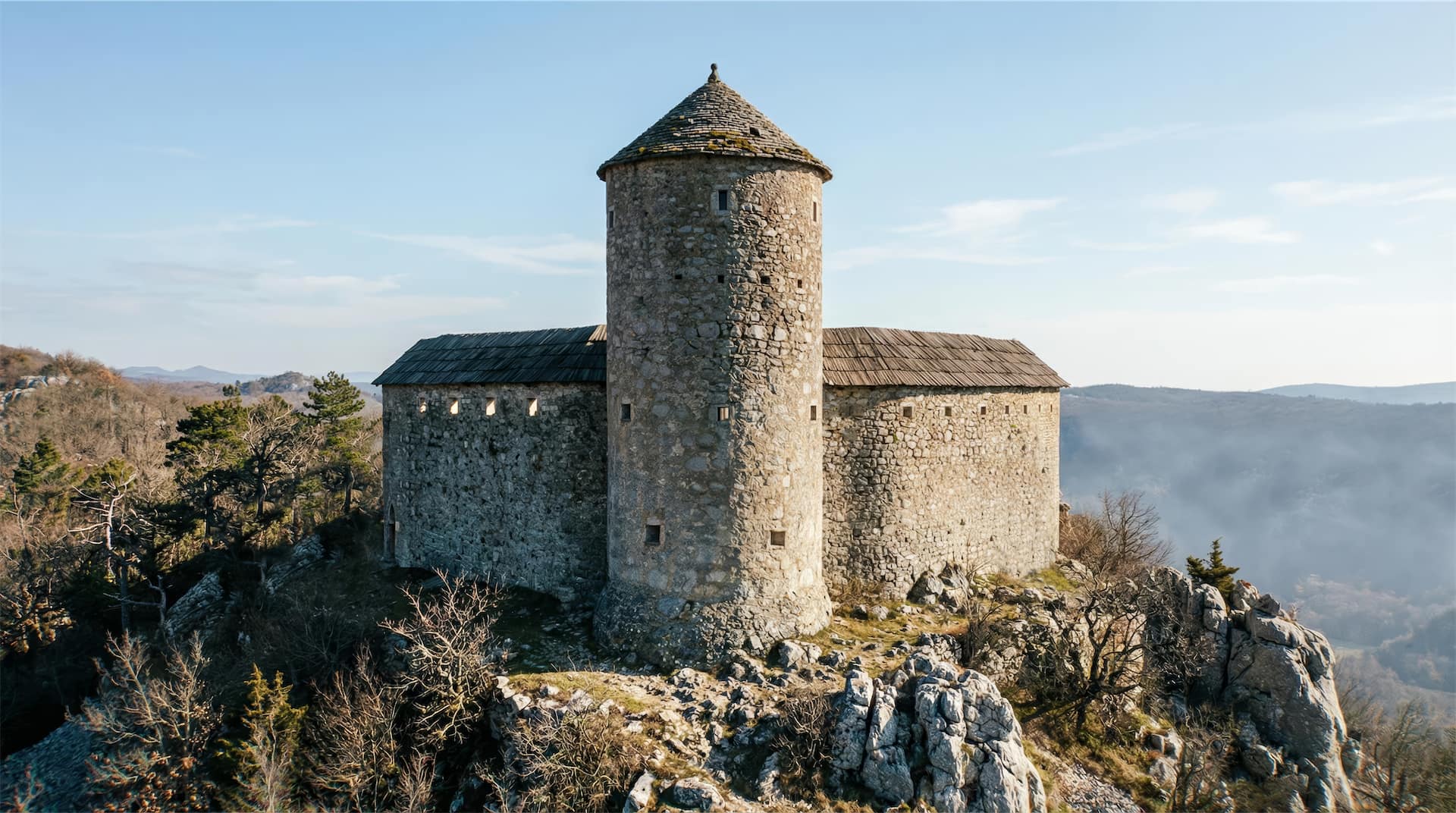
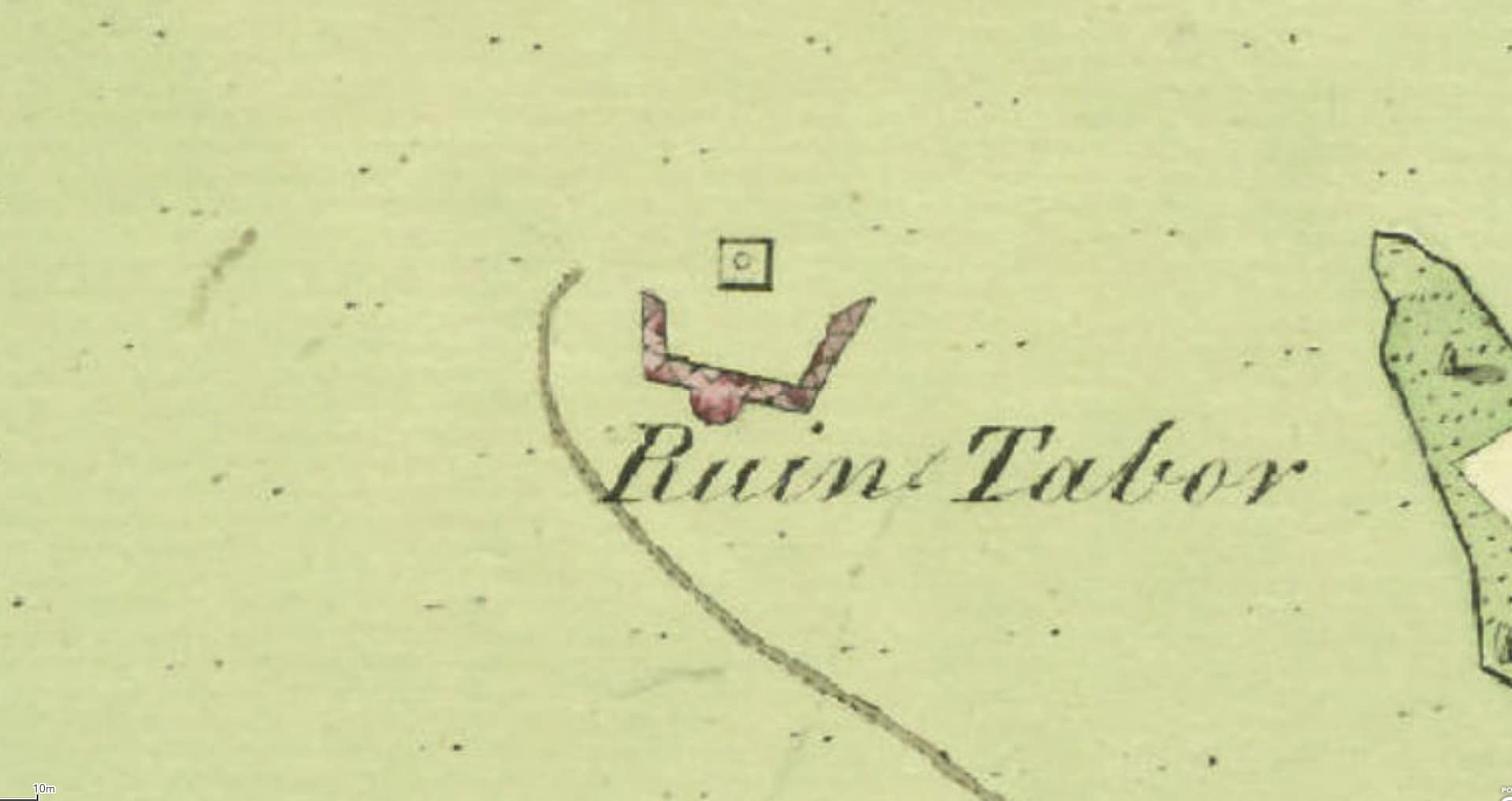
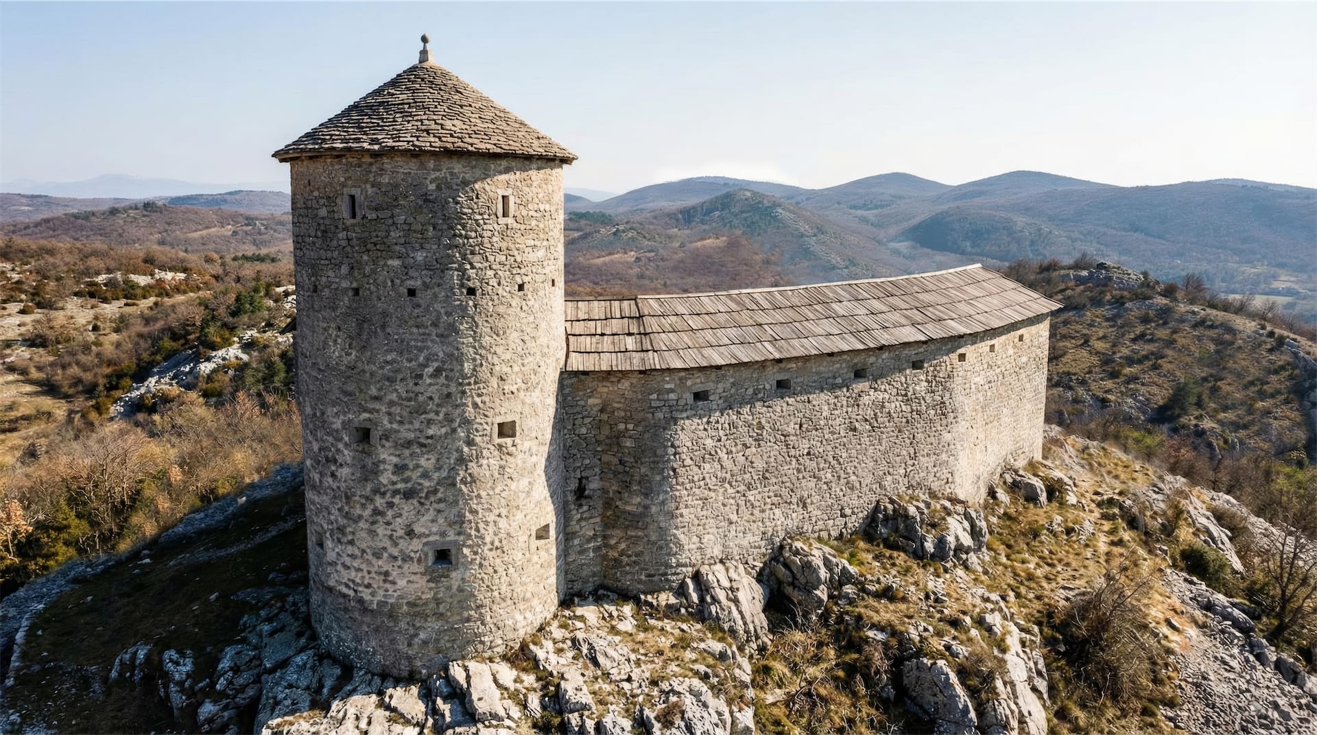
Tabor Povir was a late medieval stone tower and communal refuge built on Tabor Hill above the village of Povir, in the Karst region of southwestern Slovenia.
Constructed at the end of the 15th century during the period of Ottoman raids, it formed part of a wider system of fortified shelters (tabor) designed to protect rural communities and provide signaling points across the landscape.
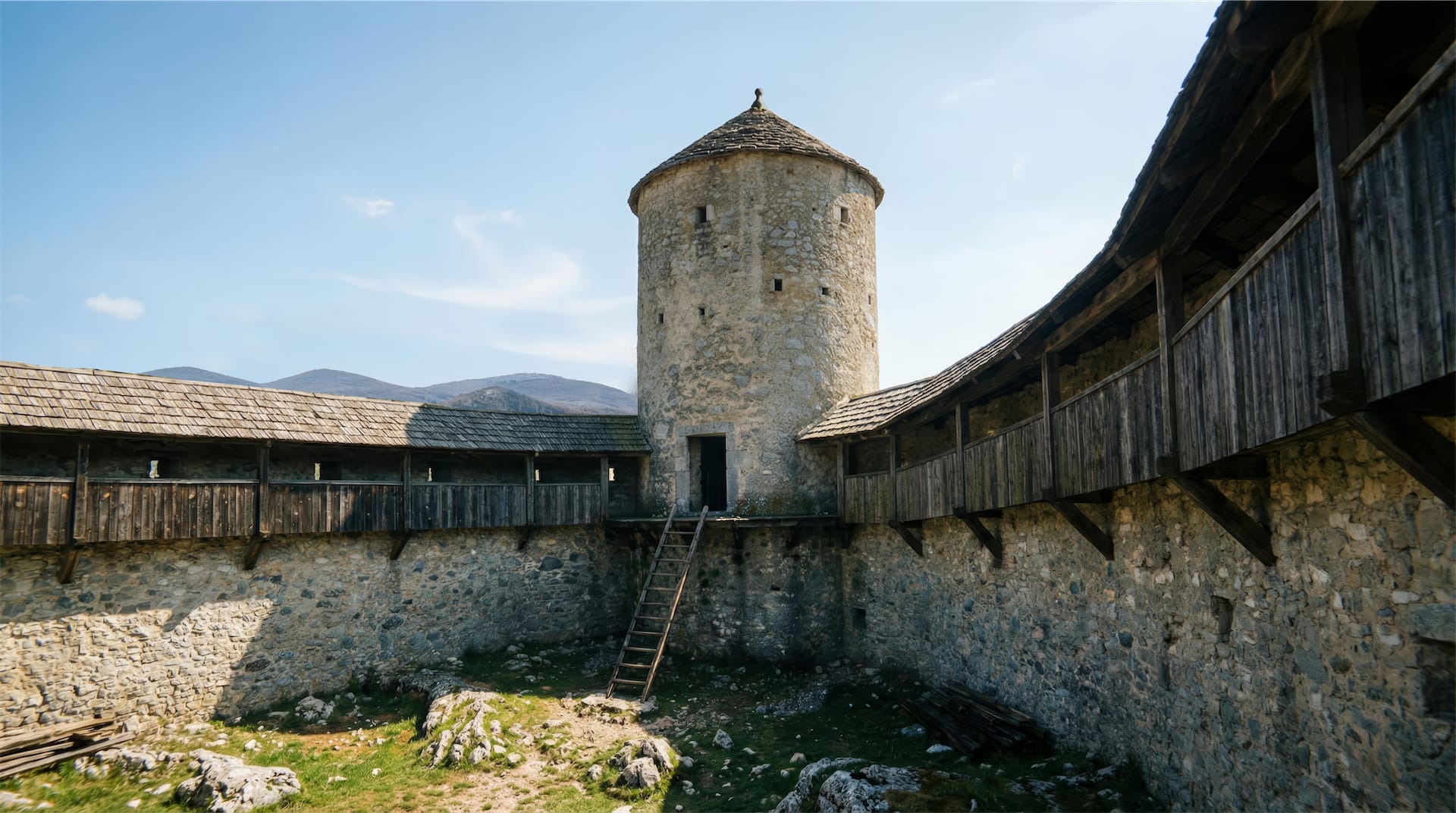
Unlike a noble castle, Tabor Povir was meant for collective defense: a place villagers could reach quickly, hold briefly, and communicate from.
Although the tower no longer stands, the site remains important for understanding how small communities organized protection in a frontier landscape.
Its story is tied to the local castle network (Švarcenek, Sežana, Školj) and to the broader defensive logic of the Karst ridge.
Today, the whole area called “Stari Tabor” preserves the memory of a structure that once shaped the village’s security and identity.



Brief Historical Overview
The hill above Povir had earlier prehistoric and Roman phases of use, but the medieval defensive structure belongs to the late 15th century. At the end of that century, the lords of Švarcenek Castle (Schwarzenberg) near Podgrad re-fortified the hilltop by building a stone watchtower and refuge, known locally as a tabor. This tower functioned as part of the Ottoman-era defensive chain on the Karst, offering shelter to peasants and enabling smoke or fire signaling between posts.
From the early 1500s into the 1600s, Tabor Povir served as a small “castellum”—a minor fortified post rather than a full castle. It did not develop into a noble residence, partly because stronger seats nearby already covered the region’s lordship structure, and because the tower’s role was primarily tactical and communal.
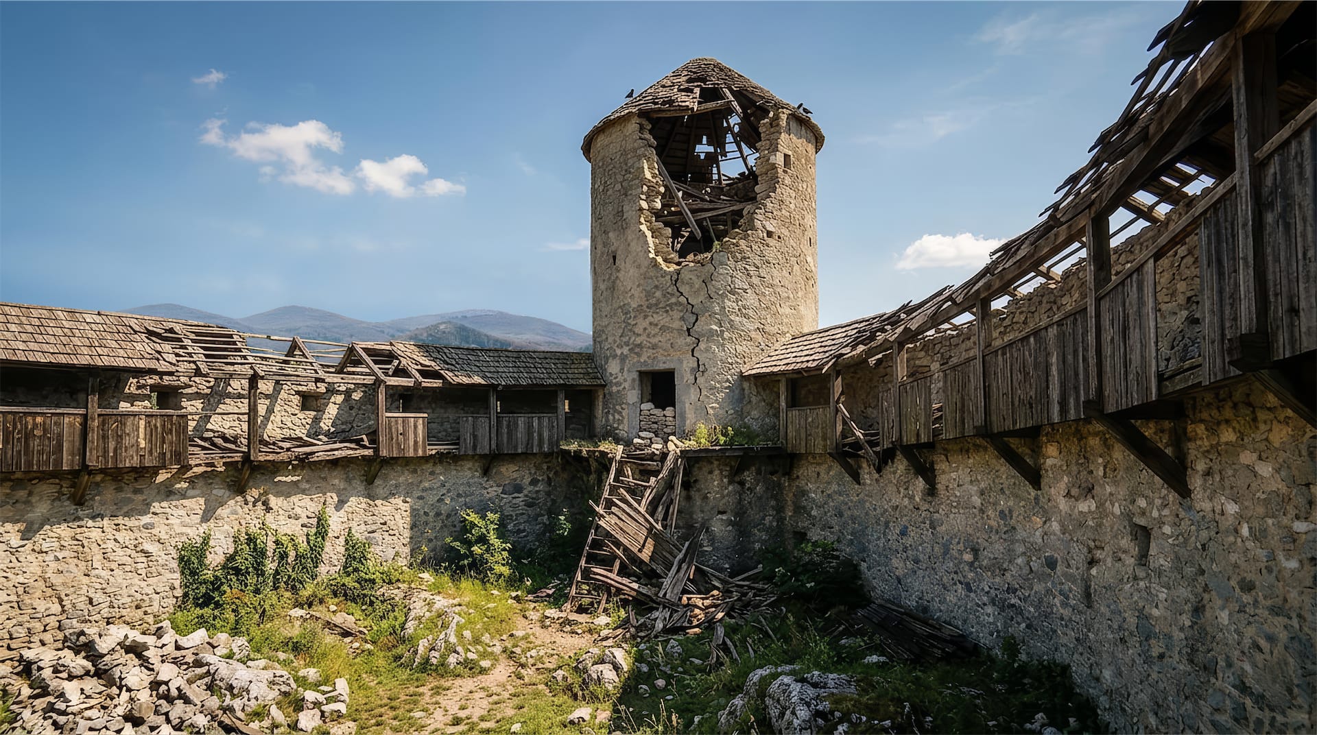
With the Ottoman threat moving away by the late 17th century, the tower lost its purpose and fell into abandonment.
By around 1700 it was already described as crumbling, and over the next centuries it collapsed into ruins.
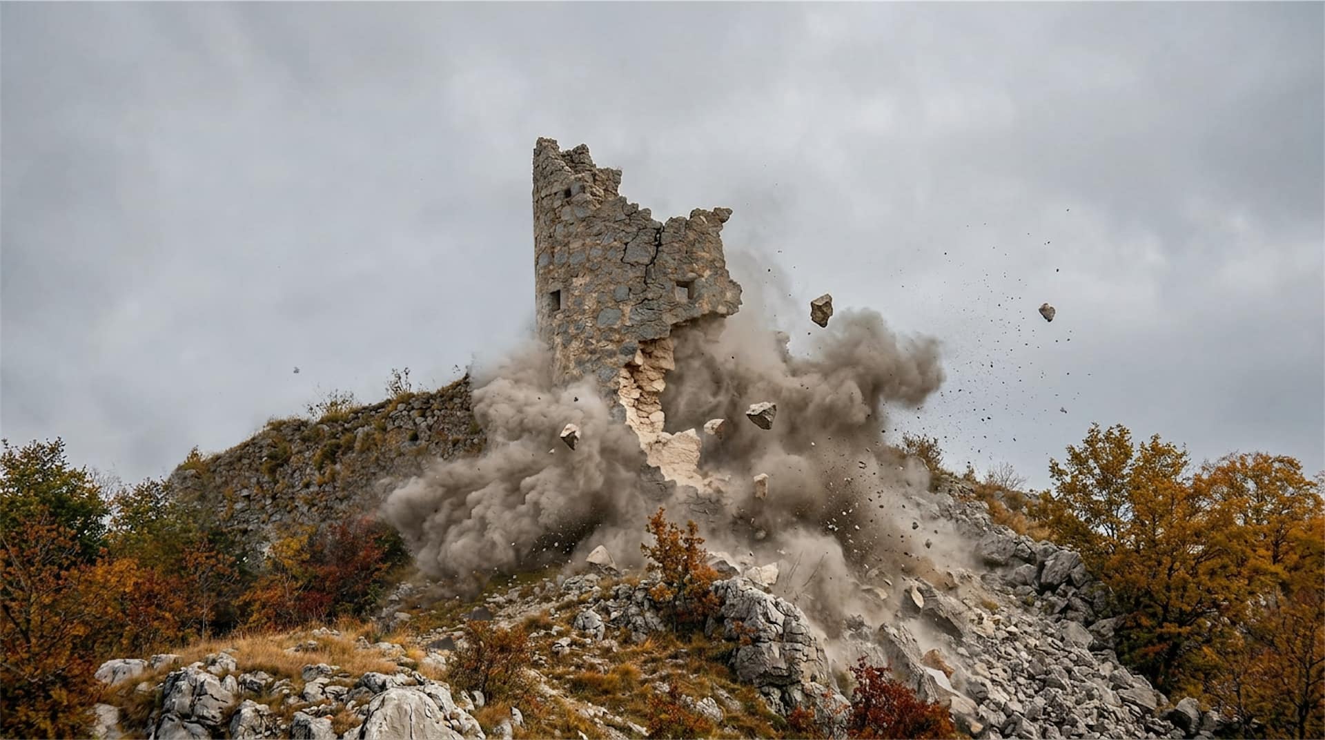
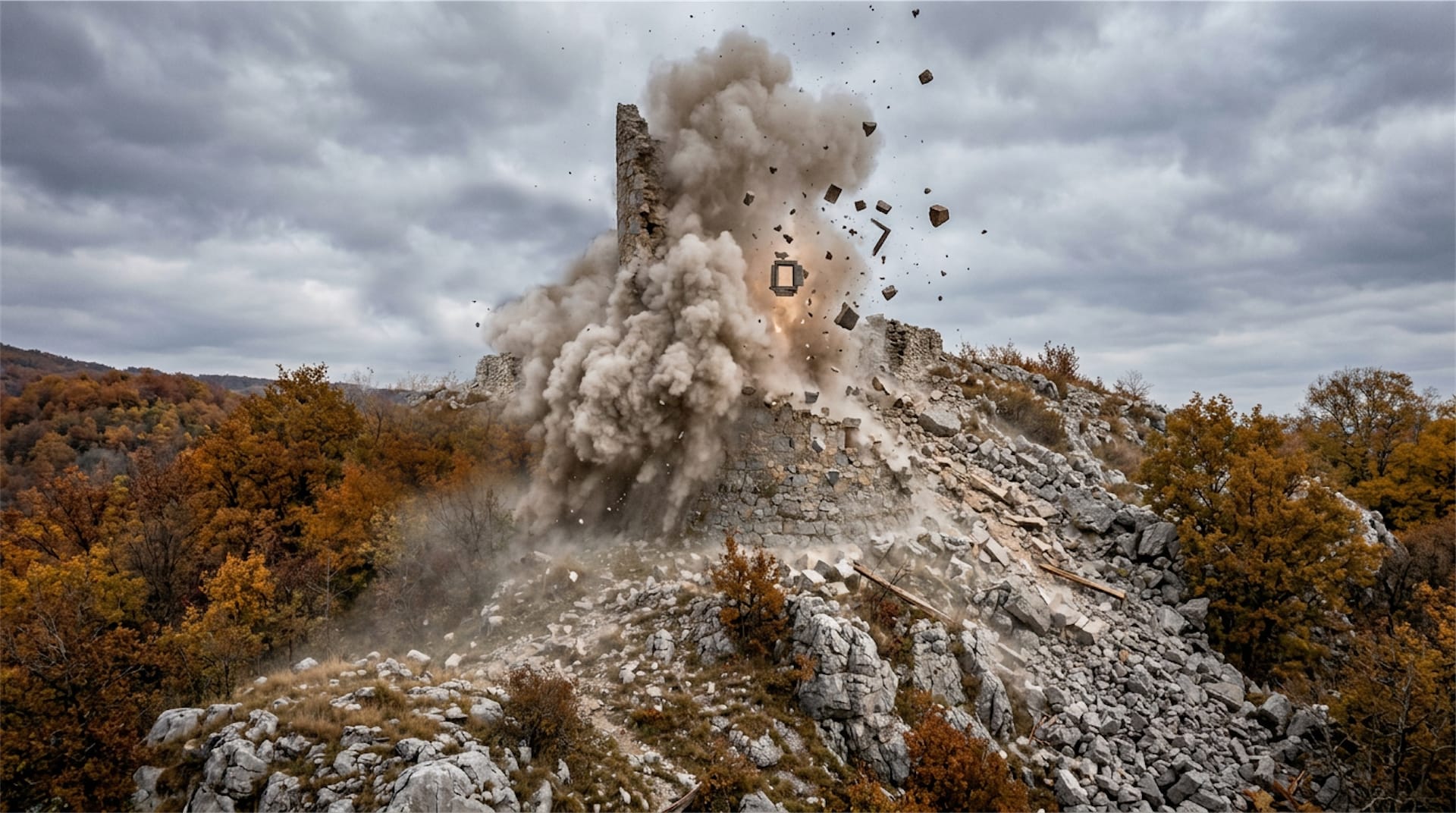
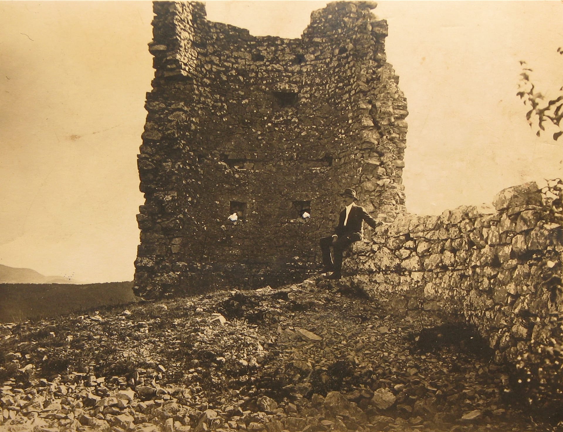
During the Second World War, the remaining masonry was reportedly destroyed during German anti-partisan operations, when the ruins were dynamited.
After the war, cut stone was reused locally, and the site was left without visible standing remains, surviving mainly as scattered foundations and terrain traces.
( For the full history of Povir Tabor, click here )
Location and Strategic Placement
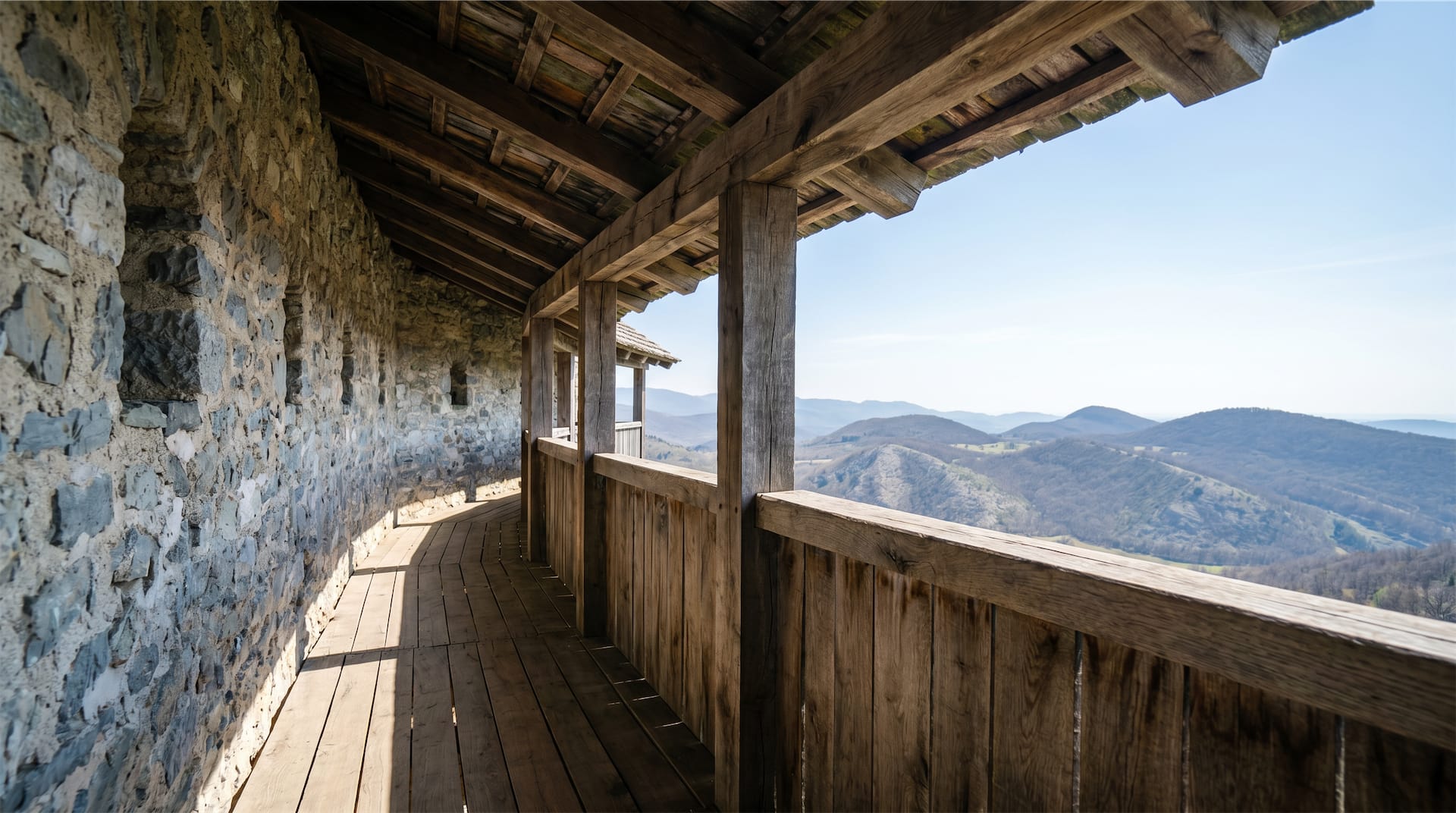
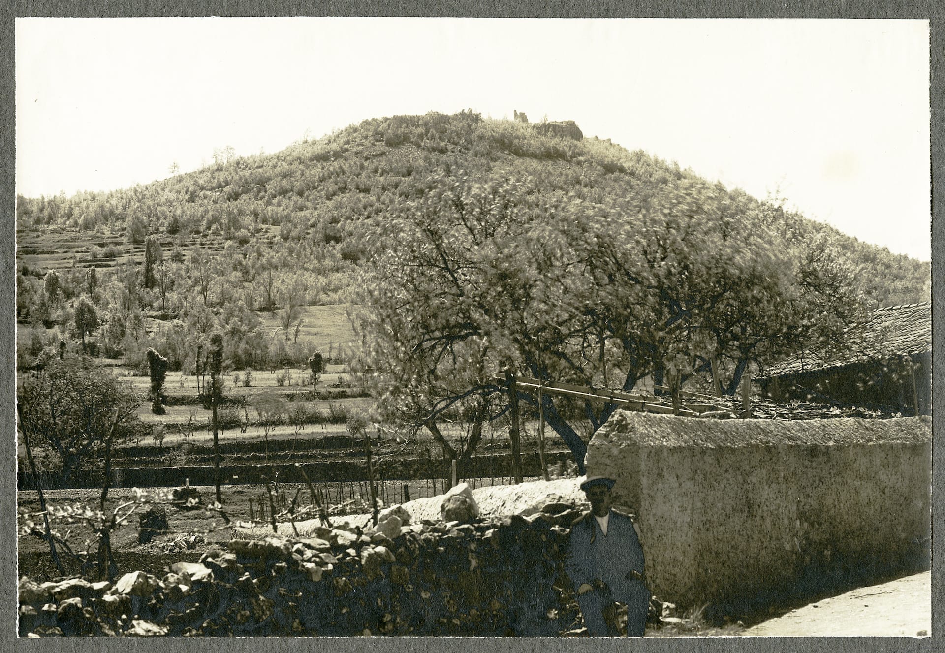
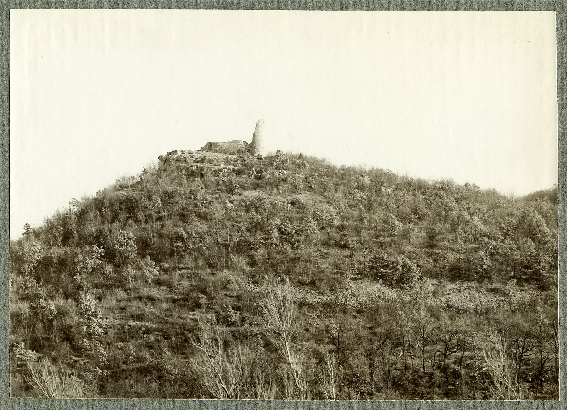
Tabor Povir stands (in historical terms) on the summit of Tabor Hill directly above the village, positioned to oversee routes across the Karst plateau and toward the Vipava Valley approaches.
This placement was well suited to the primary purpose of a tabor: early warning, rapid access from the settlement, and defensible height during sudden raids.
The hill’s visibility also allowed communication with nearby defensive points, creating a functional network rather than an isolated fortification.
The tower’s role was not to administer an estate or host noble life, but to provide short-term protection and coordinated response.
In practice, this means its architecture and logistics were geared toward refuge: controlled entry, strong masonry, and a position that could be held long enough to deter attackers or allow escape.
The site’s proximity to other castles explains why it remained limited in scale its function was supplementary within a larger defensive geography.
Current Status
Today, the location of Tabor Povir is included in Slovenia’s heritage register as part of the protected archaeological area on Tabor Hill (EŠD 566).
No standing walls remain, but foundation traces and stone scatter still mark where the tower once stood, and the terrain preserves the defensive logic of the summit. The hill is accessible via forest paths and is known in local tradition, guide materials, and hiking references.
Recent research has improved understanding of the tower’s form and setting, including documentation-based digital reconstruction work that helps interpret a site where physical remains are minimal.
This approach is especially important here because the tower was destroyed rather than simply abandoned, and later reuse of stone removed many visible clues.
Tabor Povir therefore survives primarily as a documented and landscape-based monument: a place where historical function is reconstructed through terrain reading, archives, and comparative study rather than architecture.
Latest research and newest concept
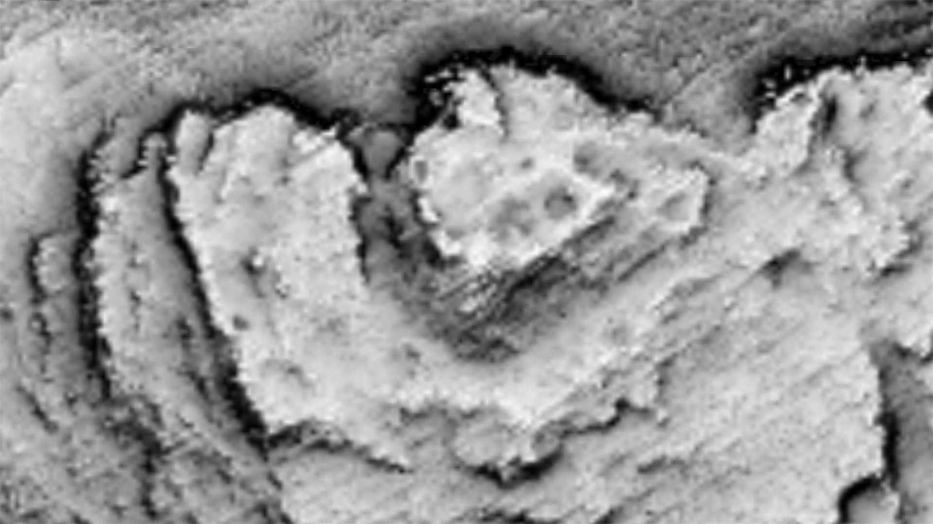
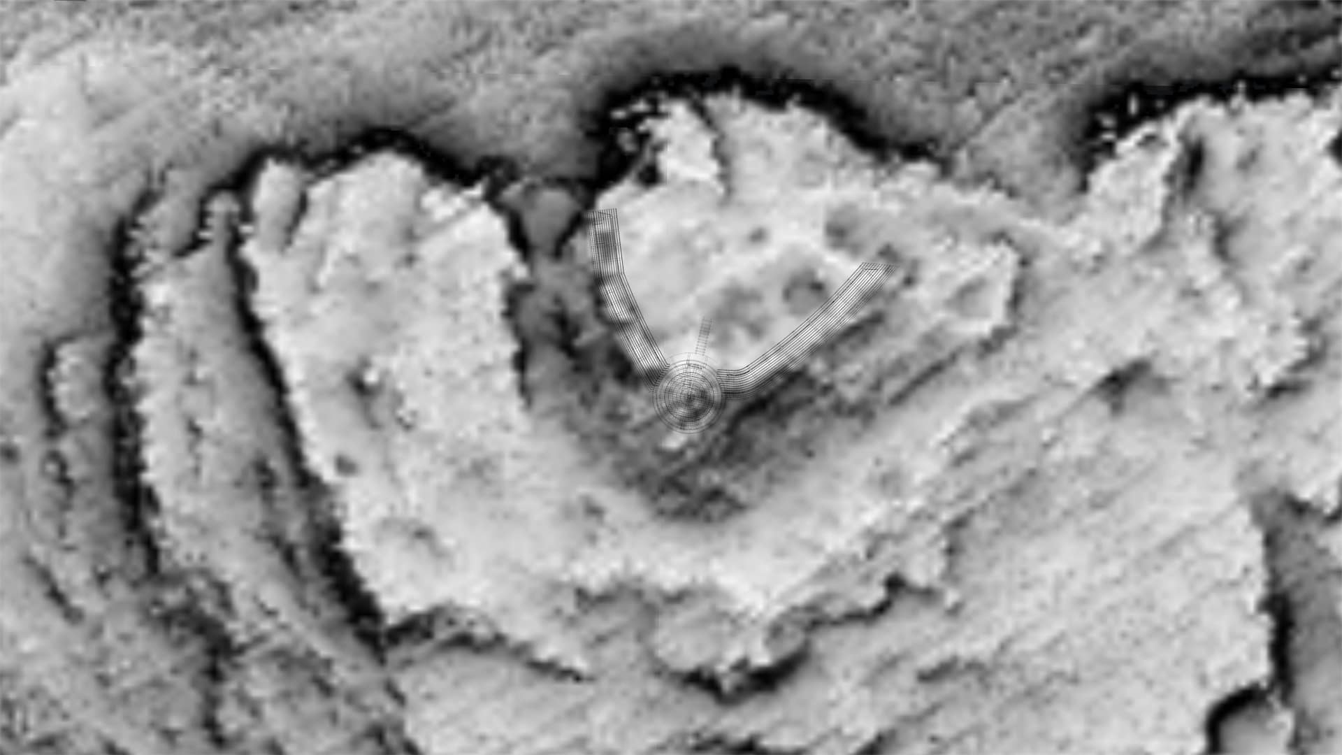
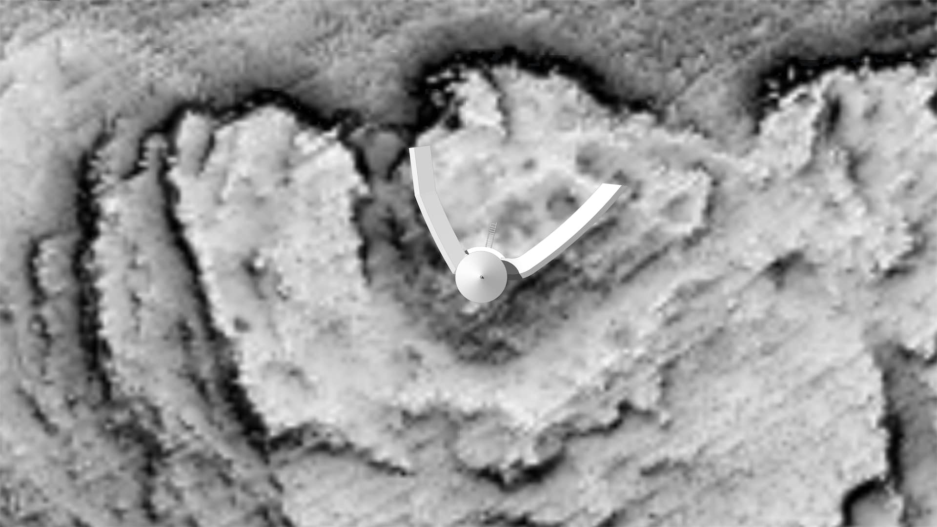
Based on the latest research, we have revised the reconstruction of the tabor using newly acquired LiDAR data. The high-resolution terrain scans revealed subtle relief traces of remaining foundations that were previously undetected, providing valuable new evidence regarding the site’s original form, extent, and spatial organization.
These findings prompted a comprehensive reassessment of our previous interpretation and reconstruction. As a result, the 3D model has been substantially redesigned, leading to a concept that differs markedly from our earlier version. Rather than representing a minor refinement, the updated reconstruction reflects a fundamentally new understanding of the tabor’s morphology and layout.
The revised model incorporates the most recent topographical and archaeological evidence currently available, demonstrating how advances in remote-sensing technology can significantly improve our understanding of historical landscapes and their preserved remains.
Potentiality and Future
From the defensive Tabor Povir there are no visible traces, just the place where it was located.
The only beneficial action to recommend, would be to place informative boards, with historical information and 3d reconstructions to help the visitors to understand the size and the purpose of the old medieval fort.
Location